

Utah
Bears Ears National Monument

Bears Ears National Monument
In 2021, SSI undertook the ambitious and delightful assignment of conducting an ecological inventory of every spring in the portion of Bears Ears National Monument that is managed by the US Forest Service. This multi-year project, done in collaboration with the Manti-La Sal National Forest, is providing us the opportunity to contribute to the growing body of knowledge about a stunningly beautiful and archaeologically rich landscape. Bears Ears National Monument was established by President Obama in 2016, in collaboration with a coalition of Native American tribes. The monument was drastically reduced in size by the subsequent administration in 2017, and restored to its original boundary by President Biden in 2021. Bears Ears is widely recognized as a sacred landscape and well known for its many archaeological sites. Like many of us do today, the people of the past relied on springs as their primary water source. We are thrilled to be contributing to the story of this landscape by mapping and describing these springs.

Bears Ears National Monument
Arizona
In Arizona, America's second driest state, water is the most critical natural resource. Isolated by arid, expansive landscapes, springs are ecological islands of habitat that support a wide array of species.
Verde Watershed Springs

SSI is excited to embark on a major effort in the Verde Watershed, mapping and inventorying the headwater springs that provide critical baseflow to the Verde’s tributaries. We received a generous grant from the Nina Mason Pulliam Charitable Trust to support this work, and we are looking forward to collaborating with citizen scientists from Friends of the Verde River to conduct ecological monitoring of these ecologically important springs. Click here to learn more about this project and get involved.
Yavapai Apache Nation

SSI is assisting the Yavapai Apache Nation in efforts to to compile and review the tribe’s ethnoecology information. The primary goal of the project is to more thoroughly document the significance of the spring-fed Verde River to the tribe, including both the ecological and cultural importance of the river. SSI will also create and provide vegetation maps of Yavapai Apache lands as part of this project. The Yavapai Apache Nation holds lands in the Verde Valley in central Arizona, and includes five tribal communities and two distinct people, the Wipuhk’a’bah (Yavapai) and the Dil’zhe’e (Apache).
Grand Canyon

Royal Arches, a hanging gardens springs system in Grand Canyon. Photo by Larry Stevens.
The Grand Canyon ecoregion contains over 1,500 known springs, likely more. The towering cliffs expose the edges of aquifers, resulting in one of the highest concentrations of springs in the United States. We have received funding from the Grand Canyon River Outfitters Association to conduct ecological inventories of springs in Grand Canyon, and to create a variety of outreach materials for river guides, other outfitters, and visitors to the Grand Canyon. Our latest outreach project is creating a field guide to the butterflies of the Grand Canyon region. Learn more about springs research in the Grand Canyon.
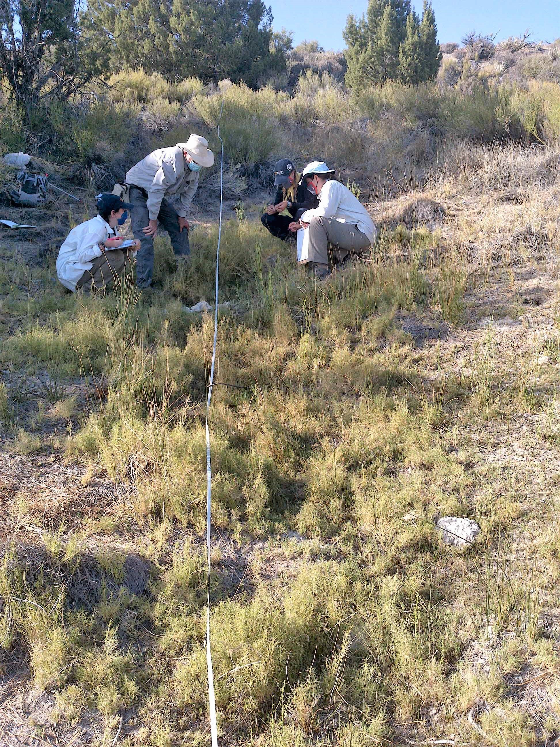
4FRI Hydrologic and Ecological Monitoring
Over the next decade, large and complex landscape management treatments will be conducted on national forests in northern Arizona through the Four Forests Restoration Initiative (4FRI). These treatments involve thinning of dense ponderosa pine forests and return of more frequent managed fires to create forest conditions closer to pre-settlement forest densities and fire frequency. These actions will reduce the likelihood of catastrophic wildfire, and provide more resiliency to climate change. Land managers, elected officials, academic scientists, recreationists and other forest visitors and residents, conservationists, Tribes and people across the Southwest who are concerned about catastrophic wildfire exacerbated by climate change all have great interest in the 4FRI restoration and partnership effectiveness.

Rosilda Spring, Coconino National Forest
Springs are likely to respond to land use changes, such as those being implemented in the 4FRI program. Reduced forest cover is anticipated to increase infiltration, and consequently may lead to increased flow rates at springs within the 4FRI treatment area.
SSI is working on year 4 of a 5-year monitoring program to test the effectiveness of 4FRI treatment and address the following questions: 1) How are 4FRI forest treatments affecting springs ecosystems and influencing aquifer recharge? and 2) Will the treatment improve springs ecological integrity? Learn more about SSI’s work with 4FRI.
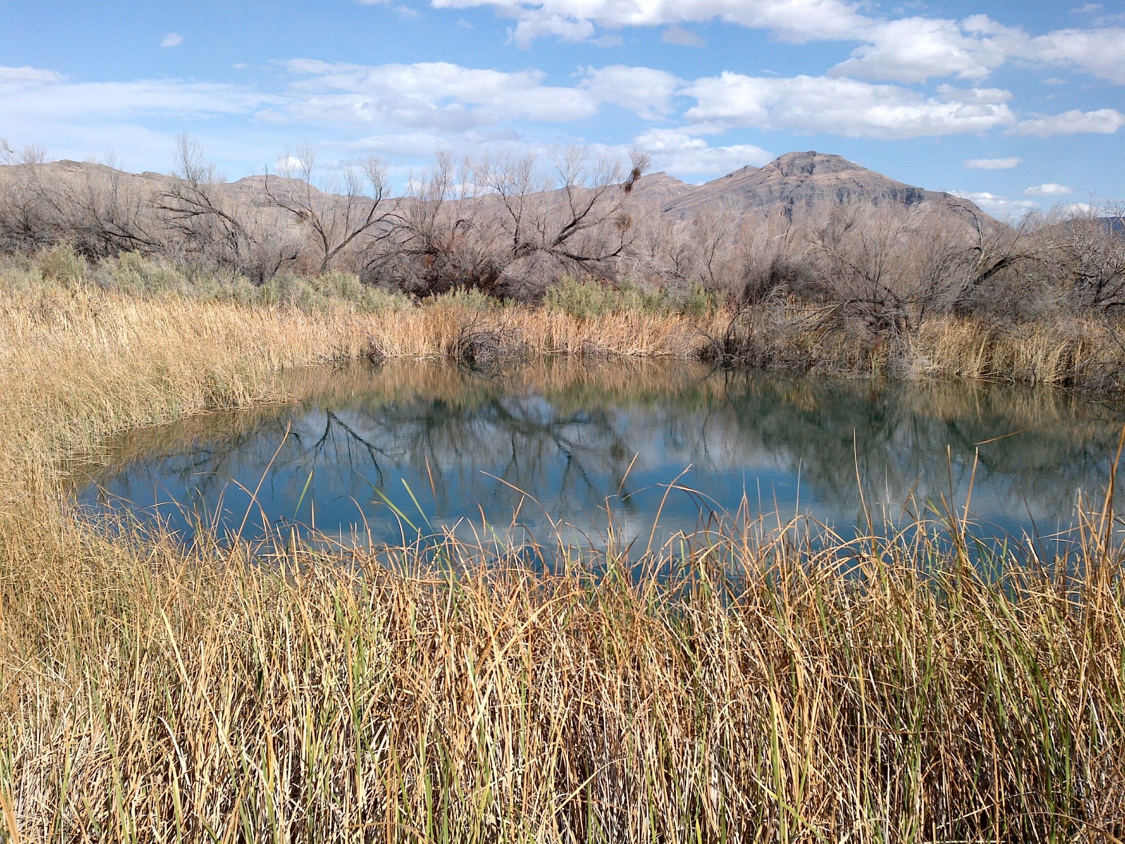
Nevada
Nevada, America’s driest state, contains a high concentration of springs. As in other arid regions, the number of springs is unknown, and hundreds likely remain unmapped. The Nevada Department of Wildlife presents a springs map in their 2012 Wildlife Action Plan.
Nevada Springs Inventory

Since 2018, SSI has been working with the Nevada Natural Heritage Program and the US Environmental Protection Agency to compile and refine information about under-studied springs. In addition to resolving uncertainties and questions on previously compiled data, the SSI team is conducting over 100 inventories and assessments per year of springs in under-studied regions, and contributing to efforts to understand the distribution and status of springs-dependent species. We have recently received funding to continue this work through 2023. Currently Springs Online contains data for over 25,000 springs in Nevada. See a fun video of pupfish spawning here.
Clark County Springs Multi-Agency Project
This project supports a collaboration among several agencies and nonprofit organizations to inventory, survey, and rehabilitate springs in Clark County. The agencies are those involved in the Southern Nevada Agency Partnership and include the US Forest Service, the Bureau of Land Management, the US Fish and Wildlife Service, and the National Park Service. The Friends of Nevada Wilderness is also collaborating on this project. One of our main goals under this project is to document the status of over 500 springs in Clark County.
New Mexico
Cibola National Forest

Weidemeyer’s admiral butterfly (Nymphalidae: Limenitis weidemeyerii)
SSI has received funding to inventory springs and provide management recommendations to the US Forest Service for springs in the Cibola National Forest in northwestern New Mexico. We are eager to continue our work in this national forest, which we began in 2017.